25 August - 11 September, 2021
Several of my wonderful friends, had just had their plans for travelling on the Indian Pacific Train to Western Australia, cancelled for the second year in a row. Thanks Covid19!
Thankfully our state [Queensland] has been able to control any outbreaks and we are free to move within its borders. Sadly the numbers south of the border are rising rapidly.
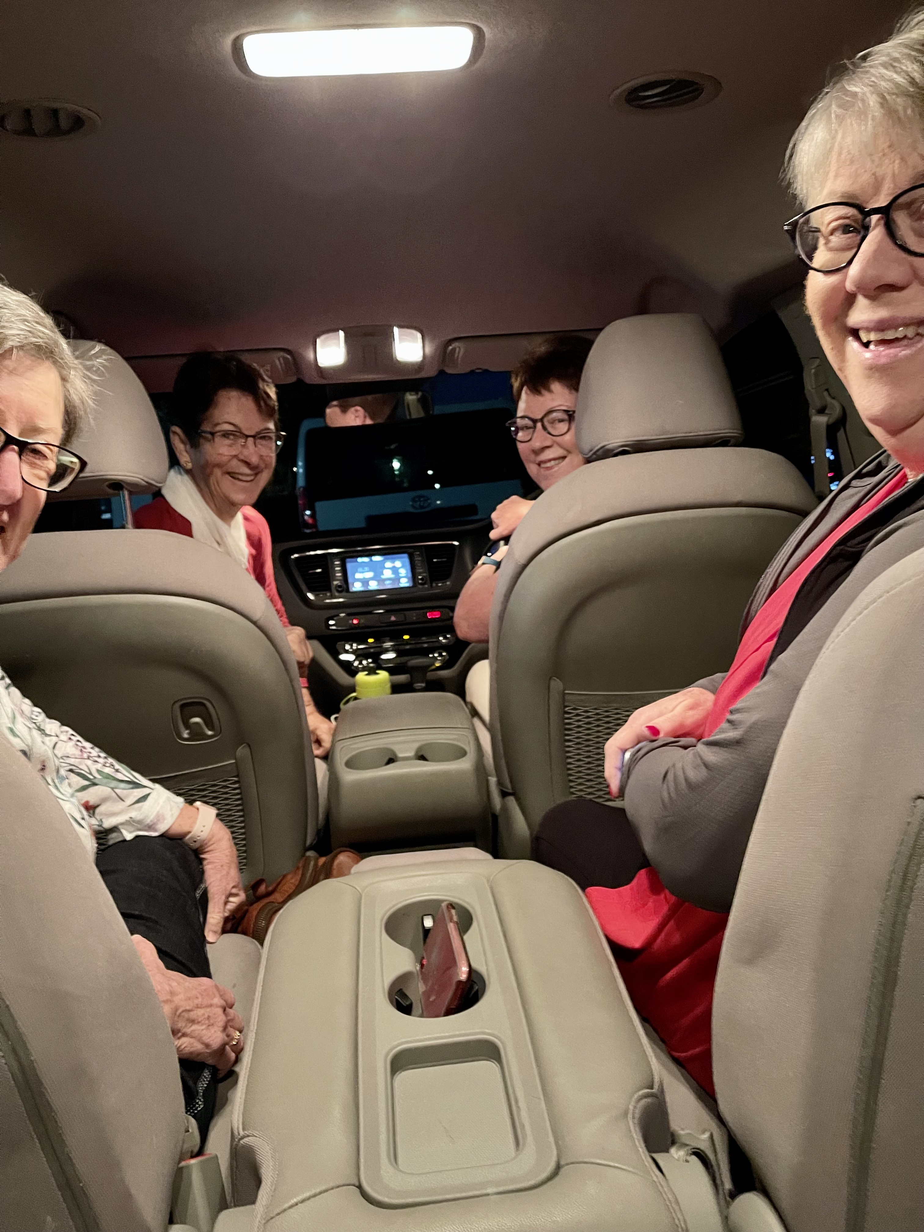
The girls decided the Western Australian trip needed to be replaced with another Queensland Outback Roadtrip. I was invited along, as were others. Finally our numbers were five and the decision was made to hire a Kia Carnival for the trip. An excellent decision. Comfort, space and noone's car depreciating from the rigors of driving 5606 km in 18 days.
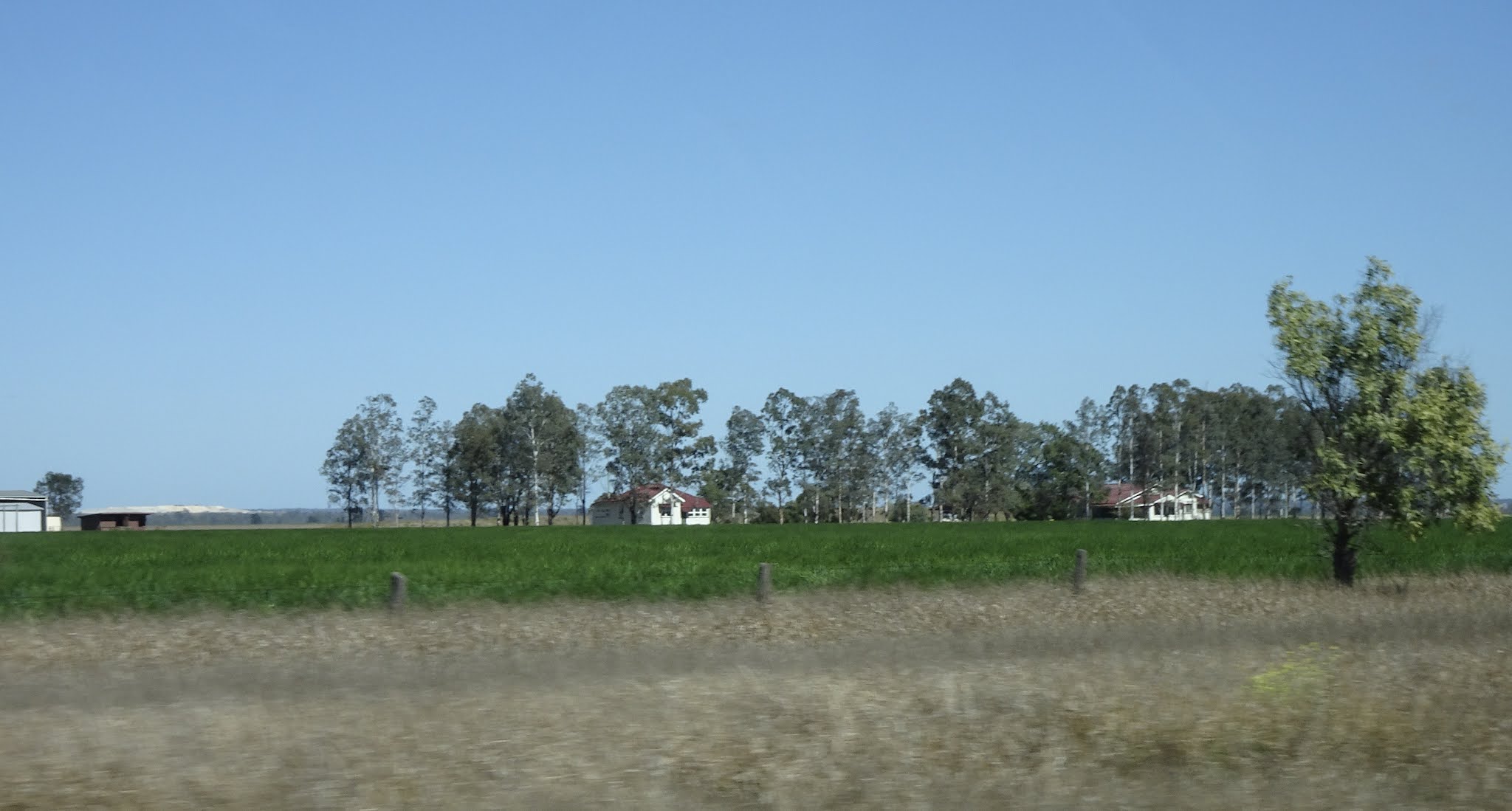
I hope you are ready for the long drive! [read] It was a 'brown' drive. Some of the countryside was showing the brown, healthy grasses of winter, but in too many areas, the brown was that of drought.

The Itinerary
Day one we elected to make a long one. We had all previously explored the towns along this section and wanted to save time for the unknown. With a starting time of 5am, and the excitement of a new adventure, 3 stops for coffee and food, the 745km past quickly and pleasantly.
Unknown to us, these kilometres were to be the last of any green vistas for the entire journey. Flat, straight roads and far horizons were to be the order of our days.
We departed Brisbane at sunrise and arrived at Augathella at sunset. We'd left in the chill and woke to frost. Not what we were used to, but the temperatures would rapidly rise.
During our south west adventure last year, we noted that western towns take great pride in their locality. Signs welcoming travellers to each town have become very impressive. The decision was made to record as many as possible on this journey. These are the signs for day 1. Yes, just 9 small, towns in 300 km, Roma to Augathella. Our west is vast and empty. Internet is almost non existant between towns.
Day 2 and the brown journey north begins.
These were basically the only wildflowers we saw during our travels. Quite hardy I expect, as often seen.
Brolgas gave us much joy and were spotted often.
The Tambo Lake and recreational area was bone dry.
At Barcaldine, we took a day detour out to Lake Dunn and the 200 km sculpture trail, created by Mylinda Rogers. Mylinda started the sculptures initially, to entertain children on their daily, long, dusty, bus ride to school. More of the sculptures to come later. A third of this drive was on reasonable bitumen, but the remainder was red, dusty and often badly corrugated road. The sculptures proved worth every bone shaking moment.
Anthills were seen often in this area.
On the first leg to Lake Dunn, we took a short, steep hike up to an ancient sacred healing circle, with its 360 degree views of the plains surrounding it.
A lone mailbox and sign to an isolated property.
Aramac Creek - literally hundreds of creeks and numerous rivers were crossed over our 18 day journey, but less than ten actually had water in them.
Lake Dunn - a lovely oasis to enjoy lunch beside.
A group of emus beside the road. On this trip they were a rare sight.
A lone, small, purple cluster of wildflowers on the Lake Dunn trail.
Very few kangaroos were spotted the entire journey. Sadly, they were seen as road kill, but thankfully, not in the numbers expected.

At the end of the day.
Longreach to Winton
Longreach Golf Course.
A short distance outside Winton, we approached 'dinosaur' country. We turned off the highway and climbed a 'jump up' [mesa] to visit the 'Age of the Dinosaurs Museum and Fossil Collection.'
View from the top.
Winton and north - a visit to the billabong [a very dry billabong] named the Combo Waterhole, where Banjo Patterson found the inspiration to write the now famous lyrics of Waltzing Matilda.
Back on the road - same, same but different.
We were impressed with the regularity and quality of rest stops throughout this journey. I believe Covid would have a lot to do with their cleanliness. Impressive given the isolation.
The sign for the Combo Waterhole
Roly Poly or tumbleweed piled up against a fence was an impressive sight north of Winton..
I googled tumbleweed to make sure I had the correct name and this recent article came up. Life just isn't easy for farmers!
https://www.abc.net.au/news/rural/2021-04-07/western-queensland-tumbleweeds-damage-exclusion-fences/100038222
Correllas and pink galah parrots were a constant sight. There were large numbers of Wedge Tailed Eagles spotted throughout the trip. They were difficult to snap.
The temperature was now a daily 30 to 35C max, but with pleasant evening temperatures and no humidity, it was not a problem.
Mt Isa area - the terrain changed to ruggard, rocky outcrops, full of mineral wealth - copper, lead, zinc and silver.
We had been told to watch for wild camels north of Winton. We had given up hope of seeing any, but nearing Mt Isa, this group were a short distance from the road.
Cloncurry to Charters Towers
The Richmond area is well known for its moon rocks. These strange rocks can vary in size from golf balls to boulders. They are the result of chemical processes on the mud floor of Australia, 100 million years ago, through the accumulation of limestone in the mud. They often contain fossils of seashells, bones and wood.
The Flinders River [1004 km long] periodically flows through Hughenden. Joc and Leanne lived here in their early teens. The dry river bed was a favourite playground. Of course, when the monsoon rains do come in summer, it is a raging torrent. Sadly, this isn't a regular occurrence.
A detour from Hughenden took us to Porcupine Gorge. [Another post] The countryside was again very dry and ruggard.
The traffic was never busy and the majority of vehicles were road trains. We had expected to see large numbers of Grey Nomad car and caravans, escaping the Covid restrictions of the coastal areas. There had been reports of food and fuel shortages because of their infux. The rush was over thankfully.
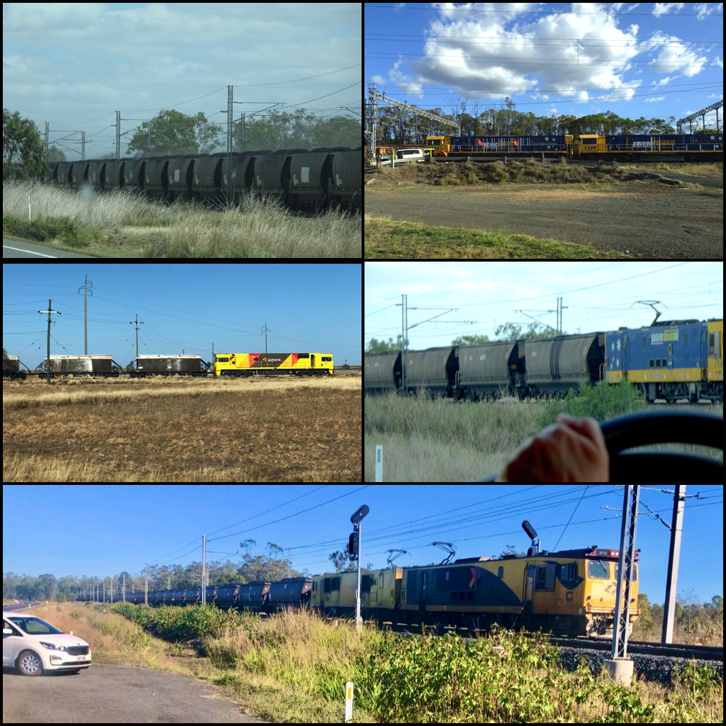
The railway line parrallelled the highway from Mt Isa to Townsville, and through central Queensland to Blackwater. Coal was the major commodity on these long trains. 150 trucks on one triple header.
Road trains - sheep, cattle, cotton, lead, fuel, food supplies.
This was the most expensive fuel purchased. It was hard to accept, that the price in Brisbane on our return, was more expensive at $174.99.
On reaching the coast at Townsville, our journey took us south through canefields.
At Bowen, we enjoyed a night beside the beach and then headed inland to Blackwater, where I had met my husband when I accepted a teaching position there. This route took us through coal mining and cattle grazing country.
Continuing south from Blackwater we travelled through the worst drought brown of the trip. It was hard to imagine what the cattle were finding to eat.
Biloela, where I Joc and I both taught in the mid seventies, was green where irrigation was able to work its magic.
Monto and south, was very sad, dry land.
The green spotted at Gayndah was of irrigated citrus orchards.
On arriving home, it was a pleasure to look across our green golf course. Over the past 2 weeks this has gradually turned brown, as our spring rains are yet to arrive. The forecast is looking good for the end of the week. One then hopes, not just for us, but where the rain is badly needed, that it isn't such a downpour that it does more damage than good. Sadly this is too often true.
This is a report from Richmond, 2019.
Thanks for staying with me. I hope this gives you a clearer picture of how flat, vast and unpopulated western Queensland and most of Australia is. I admire those who live and work in the 'Outback' now, but am overwhelmed by the harshness of the life that the early pioneers had to live.
I would love to read your comment.