Sunday 25th September
Unfortunately, Neglected Mountain still remains neglected!
On 3 occasions in the past couple of weeks, we were ready to hike it, but our wonderful, heavy spring rains put a dampener on each of these days.
Saturday was glorious sunshine and the forecast was good, but on Sunday we woke to a cloudy sky and lightly falling drizzle. The radar showed that it wouldn't last long, so we set off. After a fabulous 1 1/2 hour drive, through the now lush farmlands of Beaudesert and Christmas Creek, we determined we had arrived at our starting point. A coffee beside the creek refreshed us for what was said to be an arduous trek with some rock scrambling to Neglected Mountain.
And so we set off very carefully following our guiding notes, whilst enjoying the sunshine and bush.
The directions were:-
"From the locked gate follow a rough gravel road uphill, through private property to a hut. Veer left along a 4WD track."
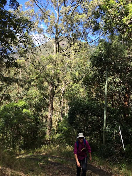
Boy was it UPHILL! The calves of our legs were well and truly burning, after the 500m climb.
The track then levelled and we found ourselves walking through well mown fields towards, not a hut, but a farmhouse. It was soon explained to us that the carpark we had left the car in, was not where it should have been. In fact, where we should have been was a good 6 kms back along the dirt road we had travelled AND we were told, that Neglected Mountain is neglected and overgrown and really not the best hike to take.
We were informed, that the Westray track started where we had made our steep ascent. Feeling disheartened by the information given to us and given the morning was getting on, we decided to leave Neglected Mountain for yet another day and hike the Westray.
The story behind the Westray Track:-
"The Stinson Crash
The stuff of Queensland legend, in 1937 a Stinson Airliner crashed on a flight from Brisbane to Sydney. With many people believing the plane had crashed somewhere over New South Wales, no search had been conducted in the Lamington Area, until Bernard O'Reilly finally heard the news, one week after the crash and set off in search of the crash site based on a hunch that he had heard the aircraft.
He found two survivors at the crash site and was told another man, Jim Westray, had also survived and that he'd set off down the nearly sheer bluffs to Christmas Creek to get help. His body was found at the creek. He had died from a fall that broke his leg. Jim Westray is buried by Christmas Creek. Visiting his grave lets you witness this incredibly rugged country, where O'Reilly walked without tracks to rescue the plane crash survivors.
The 2 pilots and 2 of the 5 passengers didn't survive."
Having retraced our steps and found the Westray track trail head, we soon discovered we needed to make a crossing of Christmas Creek. A fallen log caught our attention.
These photos were taken on the return leg.
The root base was our ladder to the top of the log.
View upstream as I crossed.
View downstream.
After we initially set off, it was a steep rocky climb to leave the creek bank, but unknown to us, this was a hint of the trail to come. Not too difficult, but regular scrambles.
We were never far from the creek. Her soothing sounds as she gently made her way down the valley, was music to our ears, along with the many voices of the birds we could seldom spot.
The canopy high above was lush green and sheltered us from several showers.


Several sections of piccabeen palms allowed our muscles to take it easier.

As so often on our hikes, the signage was not great for a good section of the track. Thankfully the path was fairly well worn to guide us. We eventually found coloured material tied to the trees, in 3 different colours. They prooved to be confusing
.

The orange arrows were more helpful.
At the junction of the Westray and Stinson tracks the signs took some deciphering. One was upside down and another, on a drink can lid disc, was swivelling and guiding one to who knows where.
We knew we didn't want the Stinson track! It was only another couple of kilometres from here, but meant a slog of up to 2 to 3 hours because of the steep ascent. When we are fit!!!!
Someone with a sense of mercy added this marker to the Stinson site.
To our surprise, Westray's grave wasn't much further on from this junction.

Where Westray met his demise.
We were totally impressed by these young hikers. Having visited several years before, they realised that the rocks on Westray's grave had been removed. They were using a palm frond to carry new rocks from the creek to the grave.
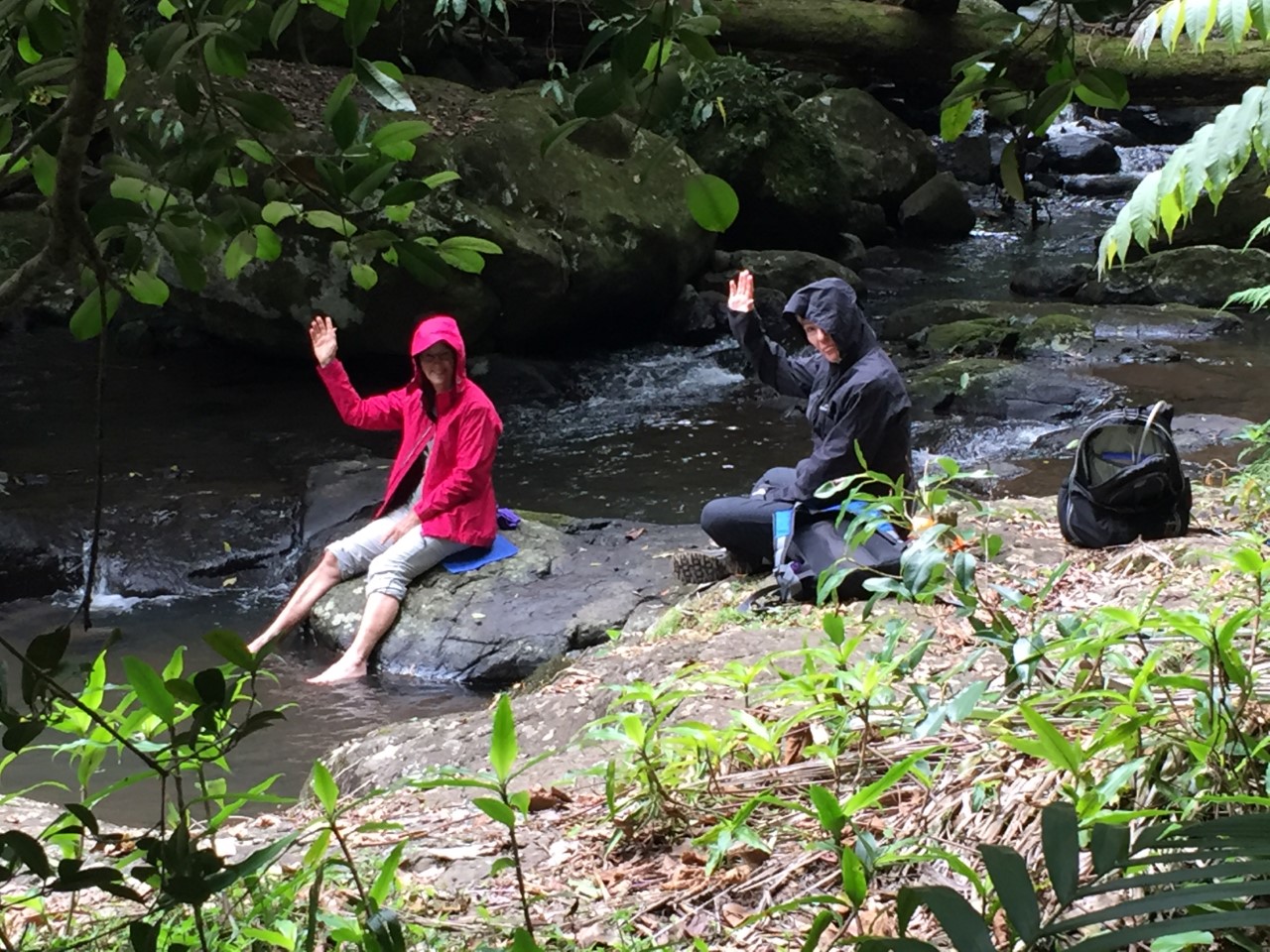
We retreated a short distance to this lovely spot for our lunch.
My feet recovered in the numbingly cold water as another shower fell.
Our return journey was more relaxed allowing us to fully appreciate this magnificent rainforest. How brilliant is nature's hand? The tiny and the giants.


Heading for home we were determined to discover the dirt road we should have taken to Neglected Mountain. This is the road, but its name is hidden by the 'No through road' sign.
Almost opposite is this lovely camp ground and creek. The plan is to return and stay here and set off early to see if we can actually make Neglected Mountain not neglected!
I would love to read your comment.