12 September, 2015
St Bees, [Irish Sea] to Ennerdale Bridge - 25kms
Finally I'm writing about my amazing hike across northern England in September and creating my 100th post on my blog. Very appropriate to combine these 2 challenging goals. I'm feeling rather chuffed with myself.
The morning of Friday 11 September, saw my friend Jocelyn and I meeting at Euston Station in London, to take the 10.30 train to St Bees via Carlisle. At St Bees we were to meet up with Gail and Margot, who were hiking with us, but had just spent 2 weeks in Scotland. As we left Whitehaven Station, last stop before St Bees, Jocelyn and I commented on whether they would bother to meet us at St Bees Station. A few minutes later I looked up and there they were walking down the corridor to surprise us. They had hiked the 12 kms along the coastline to greet us. The excitement for the days ahead, was mounting.

Our heritage diesel engine pulled us into the station at 4pm, photographed by many train spotters. Apparently this line was going to close, but was rescued by taking class 36'er engines out of museums and restoring them, hence all the train spotters.


Before dinner, a toast to our Coast to Coast hike. [C2C]

Saturday morning we woke to heavy skies and the sound of rain drumming on the roof tiles. Having been watching the weather reports for the Lakes District regularly over the past month, I was disappointed, but not surprised, that our journey would begin under leaden skies.
Throughout the walk, we had wonderful accommodation organised for us by the company, Mac's Adventure, based in Glasgow. Unfortunately for us, the standard time for breakfast was 8am, which was frustrating. We wanted to be on the trail early for relaxed hiking and to have time at the end of the day, to explore the new village we were staying in. It was 9am when we set off through the drizzle to St Bees beach, to collect 2 stones, dip our toes in the Irish Sea and have the obiquatory photograph in front of the first C2C cairn and map, [on this occasion, easily spotted] This cairn marks the official starting point of the hike.


By 9.45 we were finally climbing out of St Bees Bay and following a trail with our heads down, along the sandstone cliff tops, bordered by grassy green fields and grazing sheep. The path was slippery and uneven with sheer drops down to the muddy sea below. We gritted our teeth and told ourselves "we can do this, but please God, not for 16 days." At about 8 kms the 'English rain' abated, and gradually during the afternoon, the sky almost became sunny.


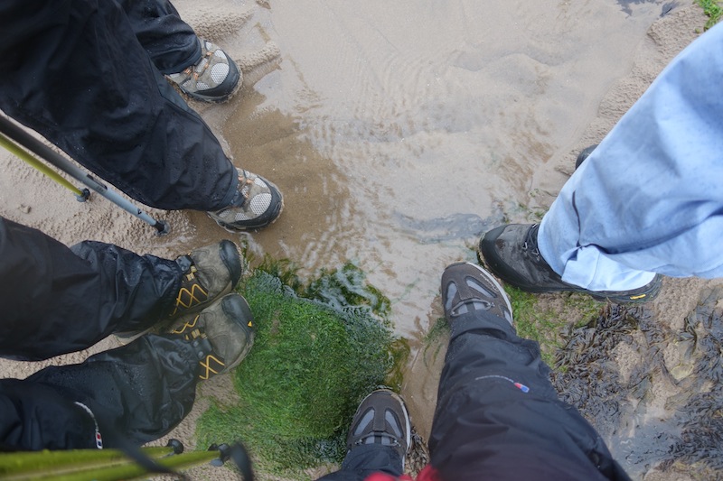
At about 8 kms we also said goodbye to the coastline and headed east, following quiet roads, dirt tracks, green leafy lanes, sometimes wide, sometimes narrow paths that led us through a wonderful patchwork landscape. We walked through farmyards, several tiny quaint villages, ploughed fields, over stiles, beside hedgerows and babbling streams, all the while delighting in the colourful displays of 'wild' flowers. We were constantly referring to the Wainwright notes and looking for the elusive Coast to Coast signposts.


We had planned to enjoy coffee and pasties at Su Ellen's Baker's Shop in Moor Row, about 10 kms into the day. We arrived at 1 minute past 12, only to discover that the doors had been firmly shut at 12 because it was Saturday! We desperately explored the small town for another venue without success. There wasn't even a park bench to sit and munch our meagre rations on. The drizzle also decided to return, as we perched ourselves on this low garden wall and gave our feet a rest.

Shortly after passing through the once thriving town of Cleator, we entered a forest of towering fir trees and began the long sweaty climb to the summit of Dent Hill [352m]. From here it was staggering to look back to the distant coastline we had hiked.


The distant coastline where we had come from.


First summit - a tad windy.

Initially our descent from Dent Hill was across open moorland, with panoramas to the fells surrounding Ennerdale Water. The walking was exhilerating with these views and the discovery of an abundance of vivid flowering heather. The compass was put into use halfway down as we couldn't find a C2C sign post and had 4 routes to choose from. Soon after, we had the highest stile of the route to climb over into a deer field. Not one was spotted.


Raven Crag, infamous for its very steep slope, now challenged us. Slow, small, careful, zigzag steps were totally necessary for a safe descent. I think we all had a few 'oh no!' moments.


Our path now wound along beside the oh so pretty Nannycatch Beck. Our sapped energy and dragging legs were revived by its gurgling sounds and the bleating sheep amongst the heather.


A long hot shower revitalised us for the short walk to The Sheperds Arm Hotel for a pint, good
food and a chance to share tales with new friends made throughout the day. We all agreed it had been a fantastic day's walking and were eager to see what Sunday would bring.
Elevation graph, taken from our Coast to Coast Path guide book.

I hope you have found a little of the excitement that we experienced walking through this picturesque English countryside. I would love to hear your comment.
Oh what a grand adventure! Something I would love to do.....hopefully someday I will. Looking forward to more reports from your marvelous trip.
ReplyDeleteI agree, a grand adventure. Thanks for sharing it with us. Looking forward to more.
ReplyDeleteSo glad you are now posting about your trek! You had me right with you the entire day as I read every word.
ReplyDeleteWow! I have not heard about this trek. Can't wait to read more. Also, curious about the pebbles and where they end up. On the other side?
ReplyDeleteWOW! Such beautiful images, all of them! I love the fifth image of the church and stone walls... so incredibly historical English!
ReplyDeleteSo I'm now beginning at the beginning - which is much better. I don't know how you can remain so enthusiastic with rain though :). Tell me the significance of the pebbles!
ReplyDelete