We made an early start that saw us outside the Esk Information centre at 8.15 am. We were surprised and relieved to find it open. We needed information on how to return to Esk, if we were to walk the full distance and not just an 'out and back', on this trail.
Our lucky day. They weren't actually open, but were happy to help us. Long story short, if we made it to Toogoolawah by 3pm [not a problem], we would be able to catch the High School bus back. Great news. A coffee was enjoyed in the park near the renovated Esk Railway Station and we were on our way by 9.15.

Trail south to Coominya.

North to Toogoolawah.

As we set off, the blue of the winter sky was dotted with fluffy cloudlets [altocumulus].

The first of many rail bridges. The trail bypassed them for safety reasons.


Picturesque rural vistas greeted us on both sides of the trail. I hope, for the sake of the farmers, that the 'winter' brown shades are not the cloak of drought.


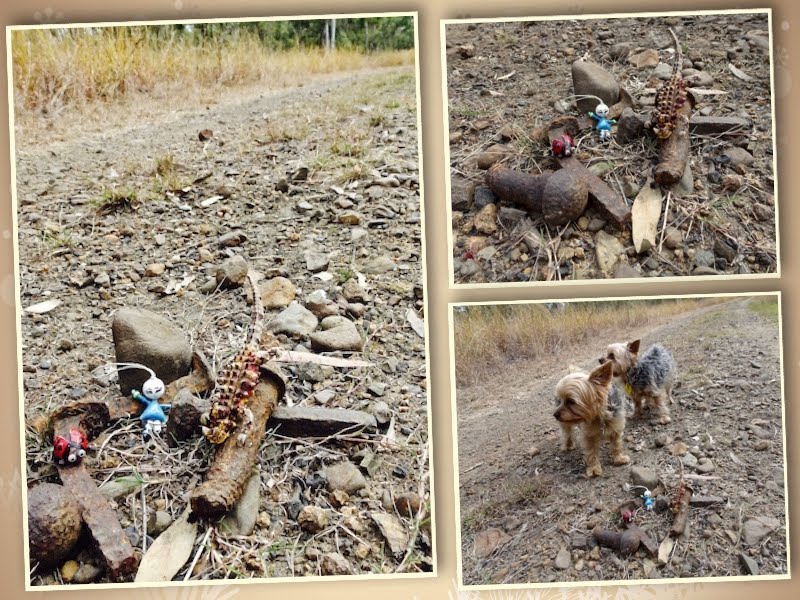
Rachel's adventurous Yorkies, Peggotty and McGinty, joined us again today. Their hiking skills are exceptional.

a] View north from our first cutting. b] Looking south, fluffy clouds were still following us.

The trail passed quite large beef cattle properties. This one had a lovely Queenslander style farmhouse.

A patch of green greeted us briefly.

The longest rail bridge.


A shady area area to rest the feet, have a snack and take pics of the Yorkies.


Along this section of the trail we found an assortment of metal rail spikes.


Ottaba Station was the only station between the two towns. Below - all that remains of the Ottaba Railway Station house.

Interesting photographs of the settlement.

With only 4 kms to go, we stopped for another break. The clouds, fences and farmland begged for more photographs to be taken.


This stunning cloud bank drew us across the last kilometre to Toogoolawah.


To enter Toogoolawah, we had to cross Cressbrook Creek. The trail deviated quite a distance from the old rail bridge, taking us across a new and ingenious footbridge.
Spot the rail bridge.


On the edge of town was the Apostolic Church of Australia. Immediately in front was the Primary School where we had been told we would be able to catch the school bus back to Esk. As it turned out, the stop was on the left of the photo.

We continued on to the station to complete the trail, then made our way back to the park opposite the school. The time was 2.15pm. Time to relax before paying the 'enormous' sum of $2 for the fare back to Esk.


It was refreshing to to witness the smiling faces of these high school students, as they entered the bus politely greeting both their driver and us. We had been concerned that the noise level on this journey may have been a tad uncomfortable. In fact, it was a friendly hum, until the song "We are the Champions" came on the radio. We all joined in singing it!

A wonderful end to a great day of hiking in the countryside of our great outdoors, 'down under'.
I would love to read your comment.
Dear Helen, Thank you for sharing your hike to Toogoolawah. What amazing skies you had! I love the different cloud formations. The foot bridge is beautiful as is your image of the old rail bridge. You've framed it so well. A great collage of Rachel's yourkies. They are super cute!! A great final image of you all on the school bus :)
ReplyDeleteHave a wonderful weekend.
Thanks Prunella. Alas we have woken to gloomy, cold skies this morning. Such a shock to our system.
DeleteHi Prunella - one on my first Yorkies was Mrs Pepperpot - 20 years ago!
DeleteQuick view today--- back tomorrow for a closer look! ANd yes--- there were some fires, but the closest was near a 100 miles away. The biggest one is in BC-- quite a distance. Clear today, thank heavens. More tomorrow.
ReplyDeleteOur son Stuart and wife live in Banff, so I have had regular updates on the BC fire. They need rain!
DeleteI love it when old rain routes are transformed into hiking/biking trails. What a lovely trail you have! Cool cloud captures. And you even got a ride home. :)
ReplyDeleteI've just learnt that the missing 24 km on this 160 km trail is to be funded in the near future, by our Federal Government. Great news. We may get to do it as a through walk, sometime in the future.
DeleteSuch fascinating and beautiful views, so different from ours, and definitely different from our winter views. :)
ReplyDeleteThank you for sharing. Have a great new week! xx
These are most enjoyable--- as the pictures of your adventures always are. Some of our abandoned rail right of ways have been turned into hiking and bicycle paths. In fact one section of the wetlands path was a one---for a short time, a very long time ago. My post today is a Bill shot--- with Laura at the other end. :).
ReplyDeleteA Bill shot yes, but not the usual Bill composition. I thought it might be Laura at the other end. Clever as always.
DeleteI LOVE those clouds. There have been some abandoned railway corridors transformed to trails here in Kansas as part of a Rails to Trails Act back in 1997. Some landowners aren't fans.
ReplyDeleteFunding is more our problem. Just to the south of us [coastal hinterland] is an old rail, which would be just beautiful for hiking and cycling. A local action group is fighting hard to achieve this.
DeleteEnjoyed my virtual stroll through the Queensland working countryside
ReplyDelete