Saturday, 11 July 2015

Yuraygir Coastal Walk - Part 1


Sunday 5th July

In October 2012, I was delighted to be visited by Leslie Gerin from Banff, Canada, whom I had got to know through her blog recording all the amazing trails she 'ran' in Banff National Park. Both she and her husband Keith were spending a couple of months hiking in Australia. They had just come from the Yuraygir Coastal Walk, south of Yamba. They made it sound awesome and it immediately went onto my bucket list. Finally it has now been ticked as done.


This information board also alerted us to the Solitary Island Coastal Walk, south from Red Rock to Sawtell, and is now added to the bucket list.

Most people hike the YCW north / south - Angourie / to Red Rock, but logistically for us south / north was the better option. For some reason this made signage more difficult to find, but given the winter conditions and the Southerly blowing, it was to our advantage.

It was a 3 hour drive on Sunday morning to Angourie. Here I found a safe parking spot near the local cafe, come shop, and transferred my pack to Margot's car, for the 1 1/2 hour drive to Red Rock. Gail arrived before us, having been delivered by Ross on their return journey from Sydney, where they had spent the previous week. The journey down passed quickly on such a glorious day with constant views of the Tweed, Richmond and mighty Clarence Rivers. Red Rock didn't disappoint.


       Corindi River mouth

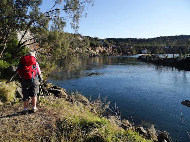
 Where we were headed.

        Excited to get started.

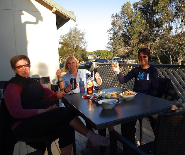
Time to relax before the trek begins.

                      Cabin views

           Spot the boat ramp.

Monday 7th July
One of the reasons it had taken me so long to organise this hike was the need to be ferried across 3 rivers. This coastline is sparsely developed, which adds to it's charm, but made organisation frustrating. Once I had confirmation that we would be ferried across, I went ahead and booked our accommodation.

8.30am saw us at the boat ramp eagerly awaiting 'Tony' and his boat. 

Alas, neither Tony nor his boat arrived, but we were rescued by the amazingly generous Gary, who had got chatting to us during the wait. Gary was holidaying from Newcastle and offered to drive us 30 kms to Station Creek, about 4 km north of Corindi River. Thank you Gary!

 Hitting the beach at Station Creek, looking south.

 During my research of the YCW, we were advised to check the tides for the most comfortable and safe beach walking, but no mention was made of Station Creek and the need to cross it at low tide. In fact, one map showed it as not entering the sea. With our delayed start, our crossing was thigh deep.


A short walk along a sandy 4 wheel drive track brought us to a pretty bay, where we were able to change and reorganise our packs.


 After leaving this bay, the track crossed a grassy headland, down to rock platforms with caches of shells stored in its crevices.


4 km of beach walking followed.


 There were many small creeks and seepages making their way to the sea, but most gave us little trouble to cross.

 The soft sand of this beach sent us to the sand dune.


Our final kilometres of the day were supposedly on rock platforms, but the information didn't add that thousands of years ago these platforms had been tilted and pushed in all directions, creating cliffs and extremely slow progress.

 Trying to negotiate my way off this small cliff, my Garmin detached itself and fell into a rock pool. My walking pole managed to recover it before the next wave rushed in. Yes, it is waterproof.

The cliff proved too much for Margot and she headed to higher ground, but not without incident. The undergrowth was thick and mischievous.


          More bush bashing.


It was with great relief that we finally arrived at Woolli River and watched the prompt arrival of Bruce and boat. It was a little tricky loading, but we were soon speeding 
 3 km along this impressive river to the old village. Unfortunately, I misunderstood where our accommodation was and we still had another 3 km to hike, when for an extra $20, Bruce would have deposited us on the doorstep of the Solitary Islands Caravan Park. 


 I was forgiven, as we enjoyed the tranquil setting of our cabin and then walked
just 50 m to a hotel, wine and dinner.


The day had had its ups and downs, but the beauty of the sky, sea and nature had our spirits soaring. 14.5 km hiked and the few people we met along the way, had by their friendliness and actions, added to the success of day one.

I do hope you have enjoyed hiking the YCW with me. I would love to read your comment.

Friday, 3 July 2015

Bribie Island Magic

To better enjoy the photographs, please click on them to increase their size.

Wednesday 1st July

Wednesday dawned overcast, but the sky was lifting as we travelled north of the Redcliffe Peninsular, [where we had hiked last week] to Bribe Island. On crossing the bridge across Pumicestone Passage to the island, we were in awe of its early morning serenity and beauty,  and the distant views to the Glasshouse Mountains. In 1891 Archibald Meston wrote of a distinctly opposite view.


Our walk started from Bongaree Jetty, hiking south along the passage to Buckley's Hole, a tidal inlet dammed to create a freshwater lagoon.


We left the sand and continued on a dirt track through eucalpyt and paperbark wetlands, to Red Beach, at the southern end of the island. It's difficult to understand why anyone would have called it Red Beach.


The beach of soft, white sand was wide, the sky and sea a mesmerising blue and families were quietly enjoying the warmth of the emerging sun. Adding to this blissful scene were pieces of driftwood, perfect shells, noble birds and gently lapping waves.


Our collection of shells and lunch view.
After lunch we did a photo shoot of the collection.
We were concerned that it didn't appear to have that 'random' feel to it. Without warning, a wave came to our rescue.
On completing our 16 km circuit, we relaxed with a scoop of the famous 'Scoopey's' ice-cream, and played with the shells again.

A tree lined path of 5 kms connected the coastal beach to Pumicestone Passage.
We found it difficult to tear ourselves away from the warmth of the sand, and the magic of the sun sparkling across the peaceful, sky blue passage.

Nature's magic was not complete for the day. Soon after arriving home I looked out and discovered a near full moon, rising on the horizon.

Further to the north, a storm cloud was bathed in sunset pink.

Today we constantly felt that 'good to be alive' feeling and fully appreciated how fortunate we are to be able to make the most of nature, whilst 'hiking down under'.

I hope you have enjoyed our winter sunshine and warmth as you hiked with me on Bribie Island. I would love to read your comment.